

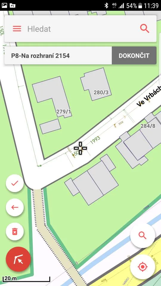
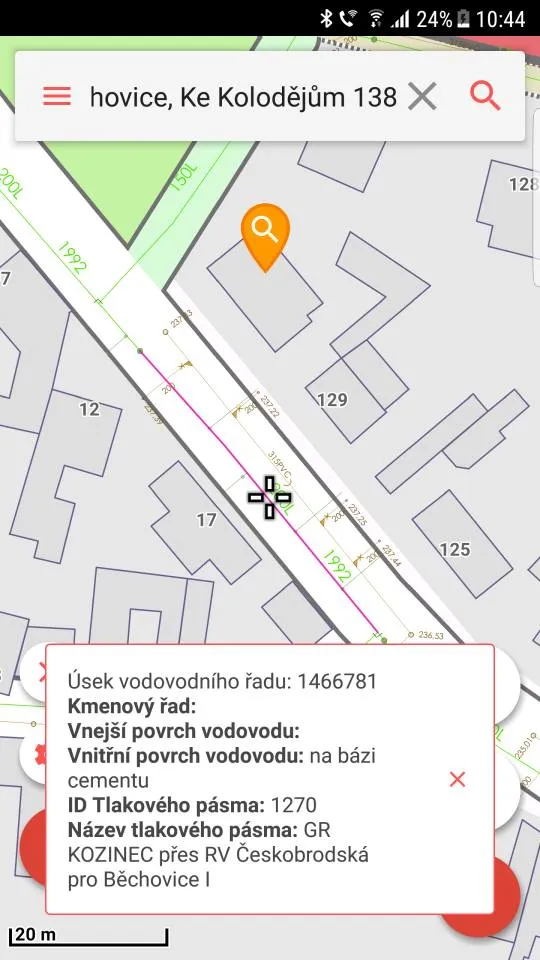
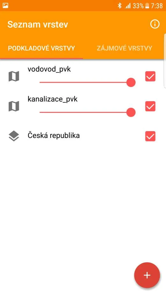
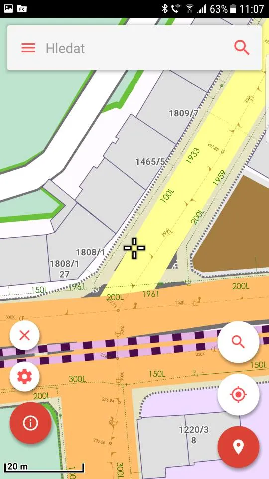
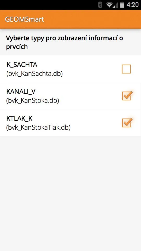
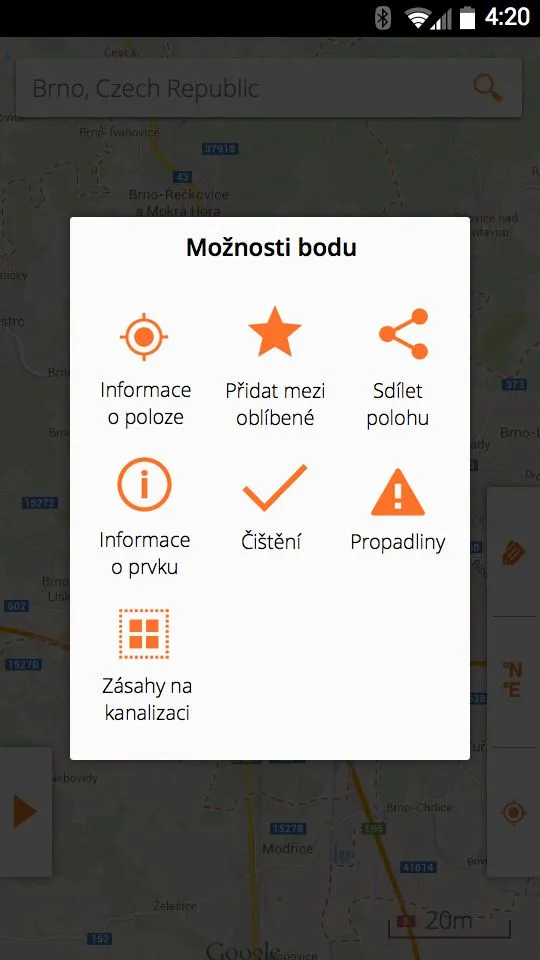
GEOM®Smart is a mobile app that lets you work with GIS map sources combined with GPS on Android mobile phones. Utility staff use the app in the field to display, locate and find GIS features and to record operational data and notes.
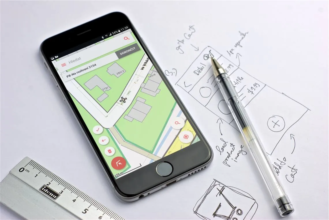
App profile
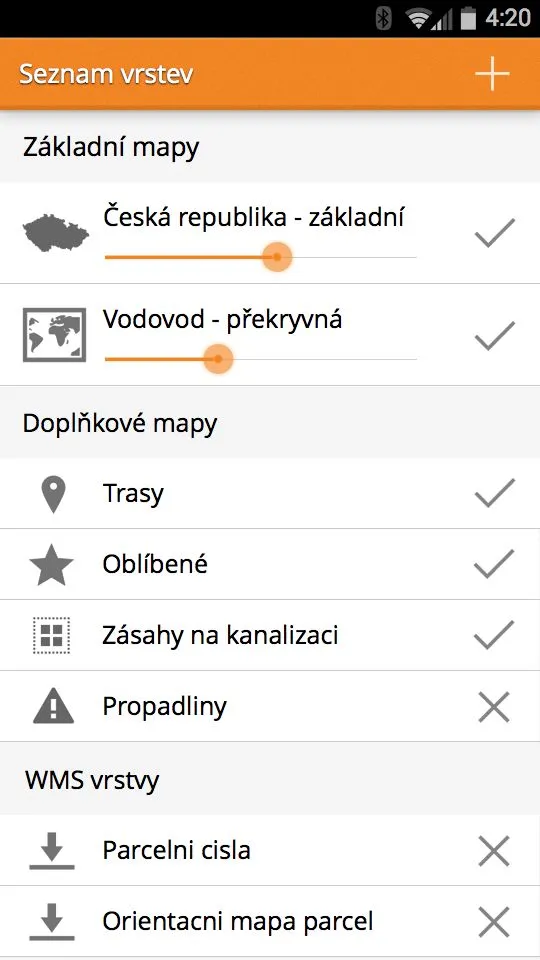
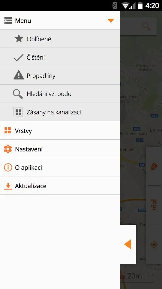
GEOM®Smart brings the functionality of GEOM® technology to mobile apps. On their mobile phone, users can work with the same data they are used to from the GEOM®Viewer web application. In addition, navigation functions are available.
The app can run in two modes:
- online - spatial data are displayed online from the application server
- offline - spatial data are stored in the phone’s memory and no internet connection is needed to work with the map
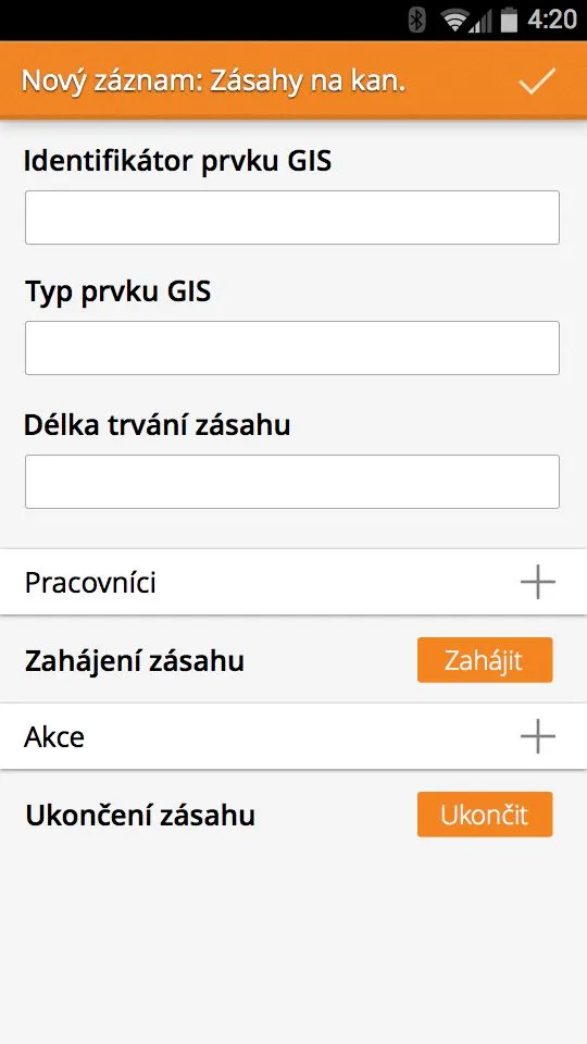
The two modes can be combined. This means that live attribute data can be displayed even when working OFFLINE, provided, of course, that the user has a GSM connection. Besides the basic map functions, GEOM®Smart also shows the user’s current position and a compass. The app includes tools for capturing features together with their descriptions. Data created this way can be connected to and then processed in the primary GIS or in linked operations systems.
A typical task
A device on a long-distance supply main needs to be found. A field crew member copies the data to the mobile device and uses the built-in navigation to get to the site. At every moment, they can see their position on the map in the mobile device. The worker finds the required device on the map and marks it, and the built-in functions guide them to the spot. After inspecting the device, they can draw the point and add attribute data with multimedia attachments such as photos, videos or voice recordings. Where a GSM signal is available, the worker has ONLINE access to GIS attribute data. With simple configuration, other data related to a given coordinate can also be retrieved, for example readings from the SCADA control system.
What are the app’s limitations?
The solution is inexpensive because it uses affordable mobile devices with a built-in or external GPS unit. These devices have limited accuracy, which depends not only on satellite visibility and geometry but also on signal reflections, for example in built-up areas. Thanks to the wide range of available base maps and, above all, complete maps of the operated networks, identifying devices is easy even without survey-grade GPS.
Why get a mobile app?
Without large investment, GEOM®Smart extends an ordinary mobile phone with the ability to work with GIS and operational data directly in the field, combined with GPS and navigation functions.