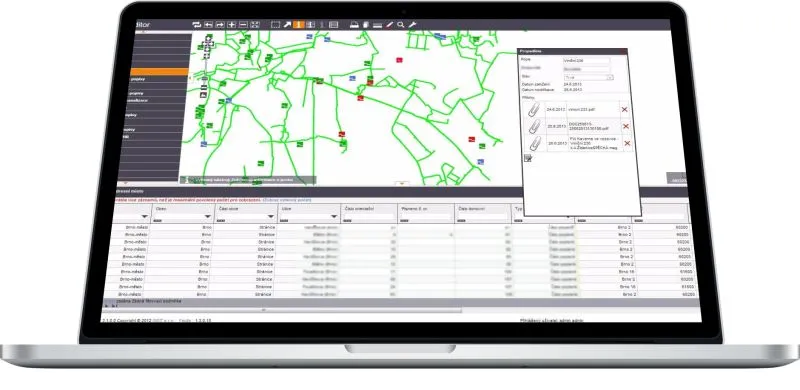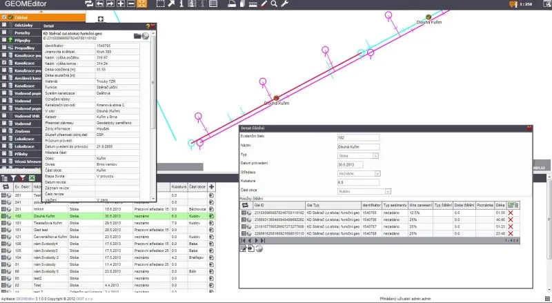
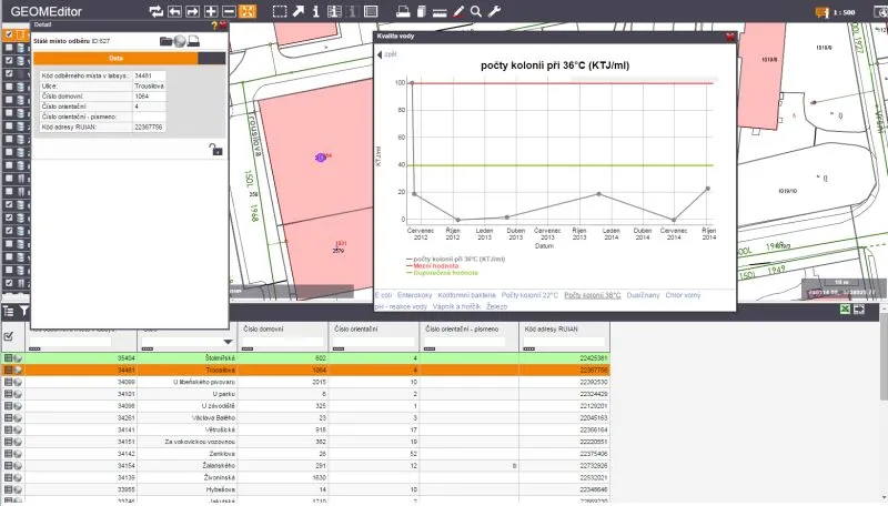
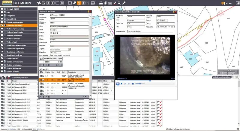
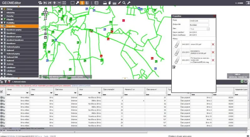
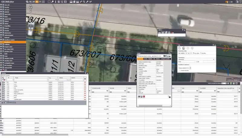
The GISIT web GIS consists of separately licensed components, each covering one area of functionality, for example the map window, work with attribute data, or editing of graphic and attribute data.
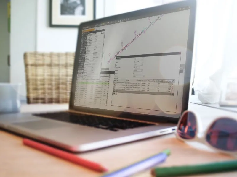
The advantage of separate licensing is that you can build your information system step by step, without high up-front costs and with only the functions you will actually use. The components are distributed under the registered trademark GEOM®.
Depending on the set of components purchased, you can use the products for a wide range of tasks, from embedding a simple map in the applications you already run, through a powerful web viewer, to a fully fledged web GIS.
The GEOM® components also form the basis of our technical operations systems.
What’s new in GEOM®Editor 3.8.5
- data display in a 3D scene – a new tool for working with 3D data
- creating and attaching GeoPDF files, which can also be opened in QGIS or ArcGIS
- raster georeferencing using control points
- attaching DGN v8, DWG and DXF drawings, and export to DGN v8 and DWG with layers by feature class
- automated import from DGN – checking a surveyor’s drawing against a template, layer-by-layer preview and creation of GIS features with a report
3D and BIM
The web 3D data viewer displays the terrain model, buildings and network routes. BIM models can be displayed in full or in part and linked to a specific GIS feature. We can also use 3D data for calculations, for example to generate a pressure point grid over the DMR 5G (digital terrain model of the Czech Republic).
You can also use a set of components for connecting data sources (ESRI, LIDS, BENTLEY):
- LDS_Connector 6 - connection to a LIDS V6 project.
- LDS_Connector 7 - connection to a LIDS V7 project.
- B-Connector 7 - connection to MicroStation v7 (Bentley)
- B-Connector 8 - connection to MicroStation v8 (Bentley)
- SDE_Connector - connection to SDE (ESRI)