

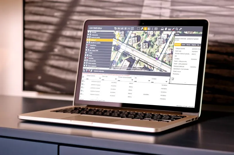
We offer a complete solution for utilities that supports the operation and maintenance of infrastructure for the production and distribution of water, gas, heat and electricity. At the core of the system is a database of operated assets, ideally managed in a GIS. Individual agendas that support network operation and maintenance work with these assets. The system is available through a conventional desktop or web client as well as on mobile devices.
The GEOM® mobile and web applications form a continuously growing set of tools for efficient operation and maintenance of utility networks and operational sites. The applications can be used without spatial data, but a fully integrated GIS makes work considerably more efficient for users of our solutions.
Modern web GIS
The days of installations are over. Try our GEOM®Editor and manage your data in a web browser.
The system includes full functionality for data capture and editing of both attribute and spatial data.
With GEOM®Editor you can manage data for utility networks, your municipality or an industrial site.
You can run GEOM®Editor on its own, or choose it as the foundation of your comprehensive technical system.
Since version 3.8.5, GEOM®Editor can also display data in a 3D scene – the terrain model, buildings and network routes. It can also create GeoPDF, georeference rasters and work with DGN, DWG and DXF drawings.
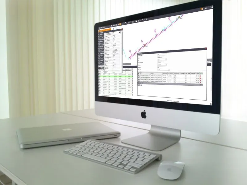
Modules for incident and maintenance management
Is a register of utility networks or assets not enough?
Extend your system with further GEOM®Util modules for recording and resolving faults and incidents, and for preventive and planned maintenance.
All of this in a web browser or a mobile application.
The system is also suitable for network operators, municipal administration and industrial sites.
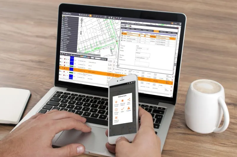
Modules for incident and maintenance management on mobile devices
Is a register of utility networks or assets not enough?
Extend your system with further GEOM®Util Mobile modules for recording and resolving faults and incidents, and for preventive and planned maintenance.
All of this in a web browser or a mobile application.
The system is also suitable for network operators, municipal administration and industrial sites.

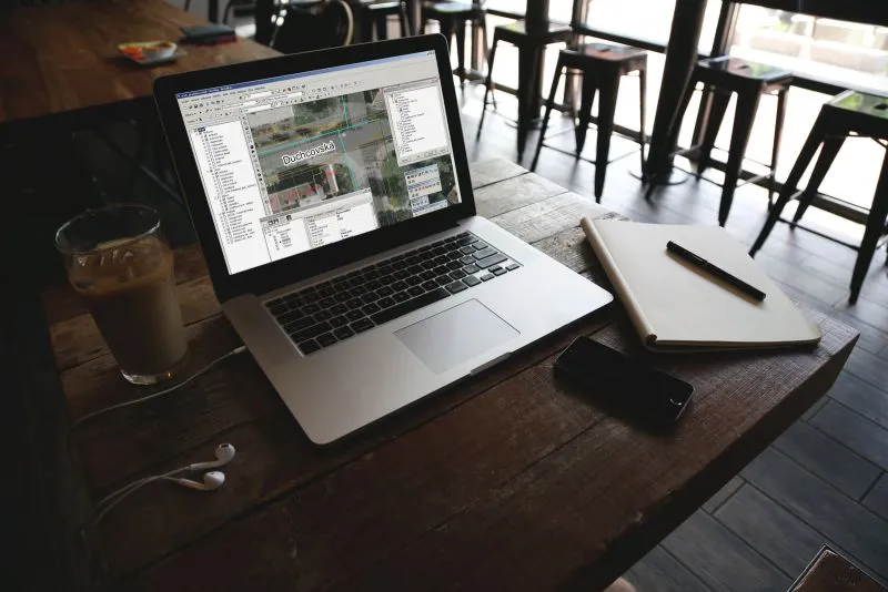
Desktop client for network operators
The GEOM®Water extension is a desktop application that complements and extends ArcGIS Desktop with tools for efficient capture, editing and management of attribute and spatial data. GEOM®Water significantly improves data capture in ArcGIS Desktop.
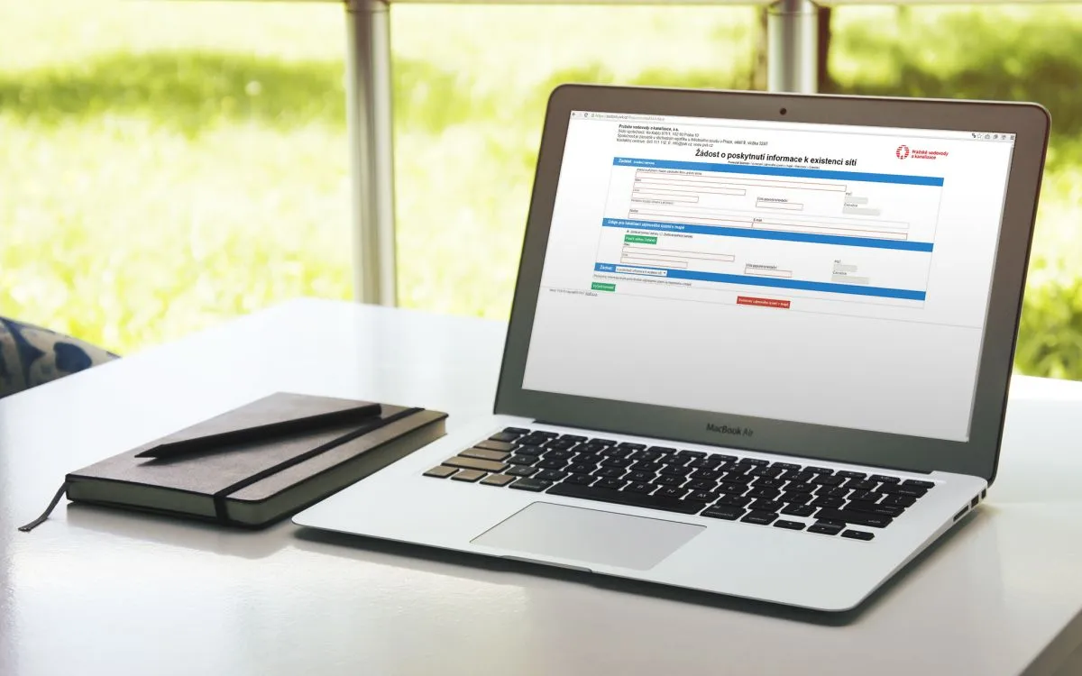
Statement requests
A complete system for receiving and processing requests for statements on the existence of utility networks and requests for data provision.
Extend your communication with customers with a modern portal for receiving and handling requests.
GEOM®Tab table-based applications
Supply outages, water meter replacements, a survey archive or a capacity balance no longer have to live in Excel and e-mails. The GEOM®Tab family of web applications manages attribute-data agendas in one shared environment, with filters, attachments, notifications, a map and links to GEOM®Editor.