

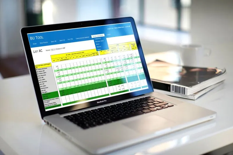
We know data
We process attribute and spatial data. We analyse various data sources and build data warehouses from them, which we present in web and mobile applications.
And because we supply GIS systems, we also offer data presentation on maps.
We also offer conventional data capture and processing for GIS.
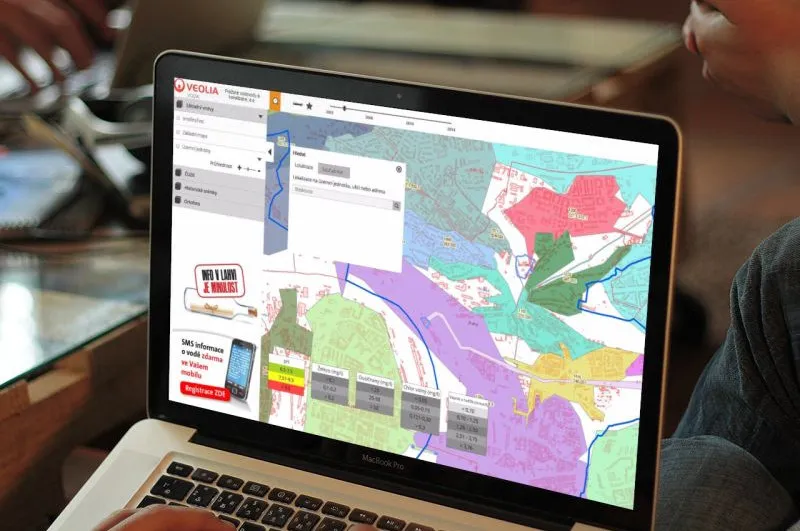
Data presentation in a map portal
We can present your data in a map portal,
both for external communication with customers and for internal use.
Our water utility customers use it to inform the public about incidents, supply outages, alternative water supply and water quality.
Data processing and visualisation
We migrate, clean and analyse attribute and spatial data. We can handle even a fair amount of chaos stored in different formats and data stores.
And we display the result in a good-looking web or mobile application.

Data We build a data warehouse on top of your data that communicates with the primary data sources. These can be databases, directories or individual files. Map portals for data presentation Present your data in our GEOM®Lite map portal, both to customers and for internal use, for example to visualise analyses of your data.