

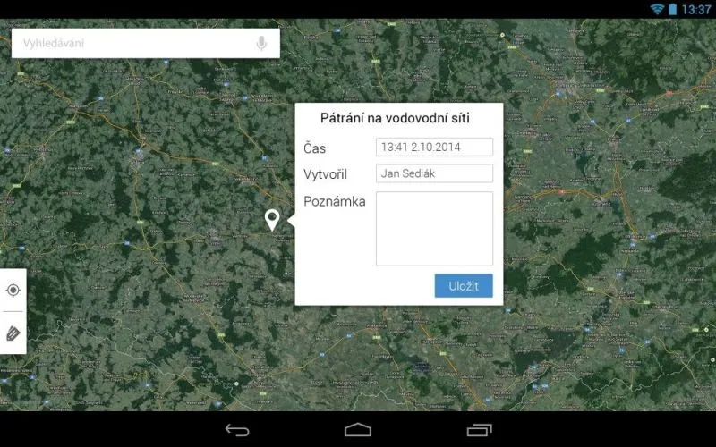
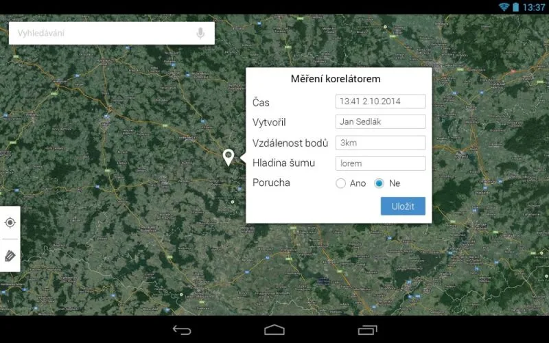
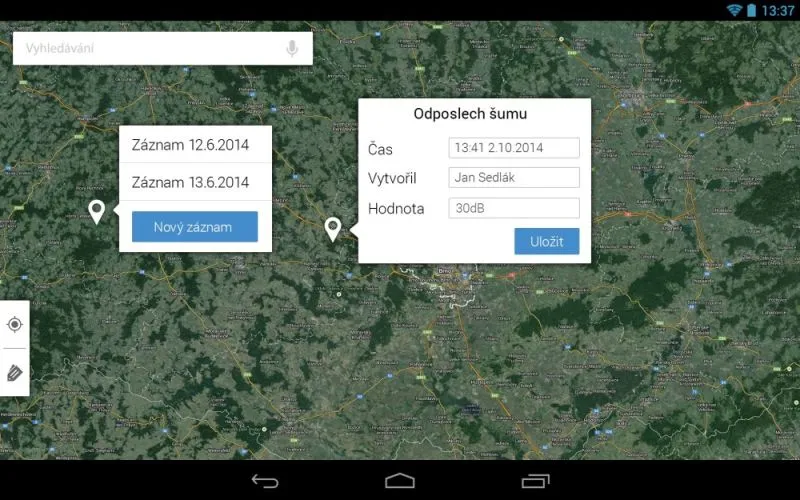
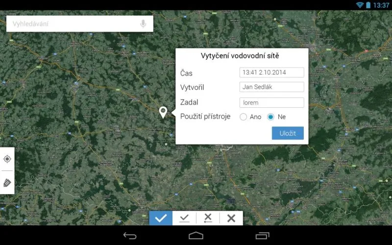
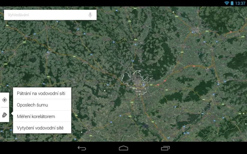
GEOM®Util Mobile is a continuously growing set of mobile applications that support utility network maintenance carried out by field staff. Optional work with GIS map sources combined with GPS is a matter of course.
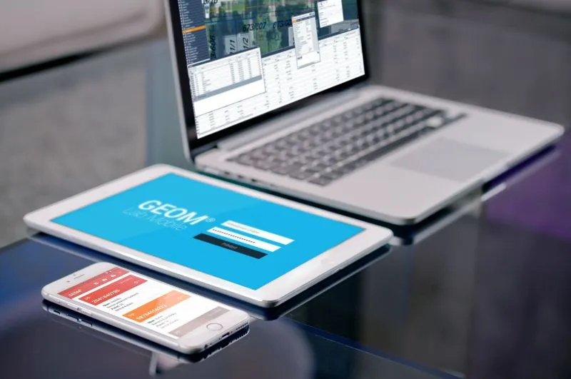
Application profile
GEOM®Util Mobile brings the functionality of GEOM® technology to mobile applications. Using a mobile phone or tablet, the user views, captures or edits the operational data of individual agendas. Use of all the device’s hardware is a matter of course. The applications use the GPS sensor, camera, microphone and compass.
If the device has a barcode or QR code reader, field staff use it to identify the equipment on which they are carrying out maintenance or repairing a fault.
The applications can run in two modes:
- online - spatial data are displayed online from the application server
- offline - spatial data are stored in the phone’s memory and are synchronised as soon as an internet connection is available
Example agendas
In addition to basic fault and defect recording, the mobile system includes recording of planned and preventive maintenance activities, including reporting of human resources against working-time capacity.
Why get a mobile application?
Without the need for large investments, GEOM®Smart extends an ordinary mobile phone with the ability to work with GIS and operational data directly in the field, combined with GPS and navigation functions.