

GEOM®Water and GEOM®Util
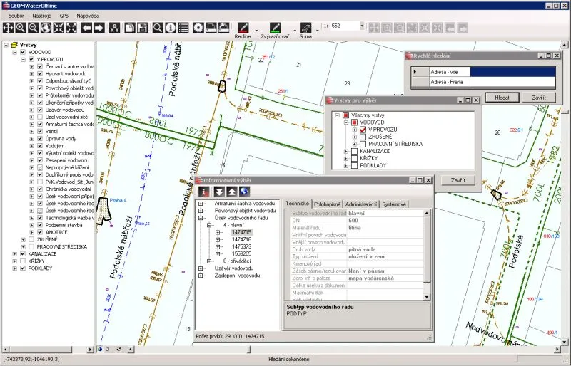
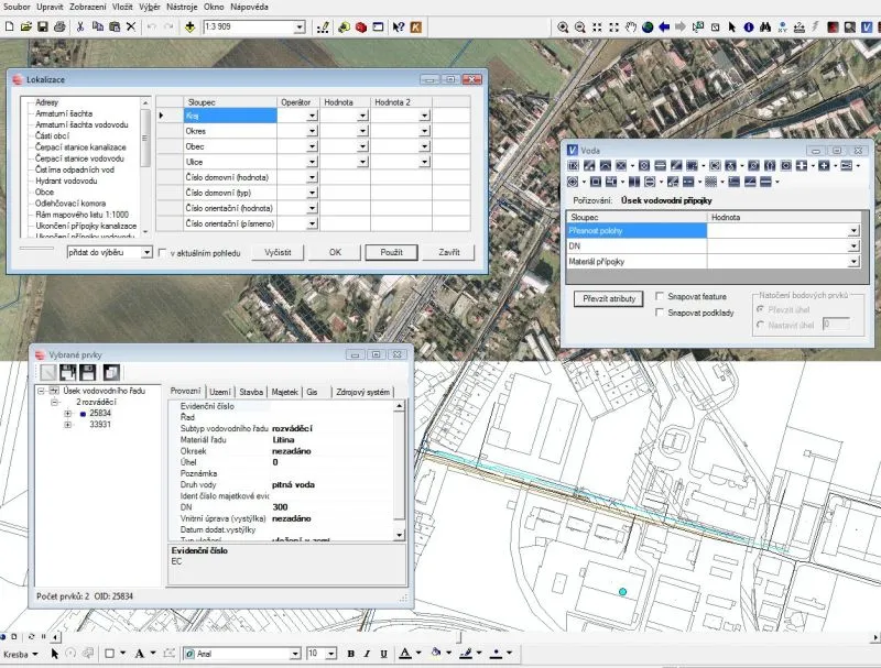
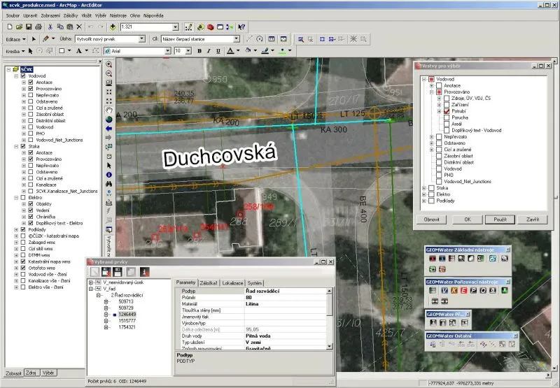
The GEOM®Water extension complements and extends ArcGIS for Desktop (ArcMap) with tools for efficient capture, editing and management of attribute and spatial data.
GEOM®Water significantly improves data capture in ArcGIS for Desktop. Thanks to improved functions for layer selection and for defining snapping features, and above all a metadata-driven icon menu with capture tools for each feature class, a GIS operator’s efficiency approaches that of data capture in a CAD environment. The clear window, which includes the icon menu with tools for drawing GIS features, also contains forms for capturing basic attributes. GEOM®Water also includes robust tools for defining access rights. Other important functions of GEOM®Water include, for example, change tracking tools and batch attribute filling.